📝 Paper Summary
Earth Observation (EO)
Remote Sensing
Self-Supervised Learning (SSL)
MMEarth introduces a global-scale multi-modal Earth Observation dataset and a Multi-Pretext Masked Autoencoder (MP-MAE) that leverages diverse sensor data during pretraining to learn better representations for optical satellite imagery.
Core Problem
Self-supervised models trained on natural images (like ImageNet) or single-modality satellite data often fail to capture the complex semantic relationships needed for diverse Earth Observation tasks.
Why it matters:
- Earth Observation applications (e.g., mapping carbon stocks, species abundance) critically lack labeled training data due to the high cost of expert field measurements.
- Existing pretraining methods typically ignore the vast potential of automatically aligned multi-modal sensor data (radar, elevation, climate) available at global scale.
- Models specialized for optical imagery struggle to generalize to tasks requiring understanding of physical properties not explicitly visible in RGB (e.g., canopy height or temperature).
Concrete Example:
When predicting canopy height from an optical satellite image, a standard MAE trained only on optical data might miss structural cues. In contrast, MP-MAE pretrains by reconstructing hidden modalities like LiDAR-derived canopy height from the optical input, forcing the encoder to learn structural features explicitly.
Key Novelty
Multi-Pretext Masked Autoencoder (MP-MAE) on the MMEarth Dataset
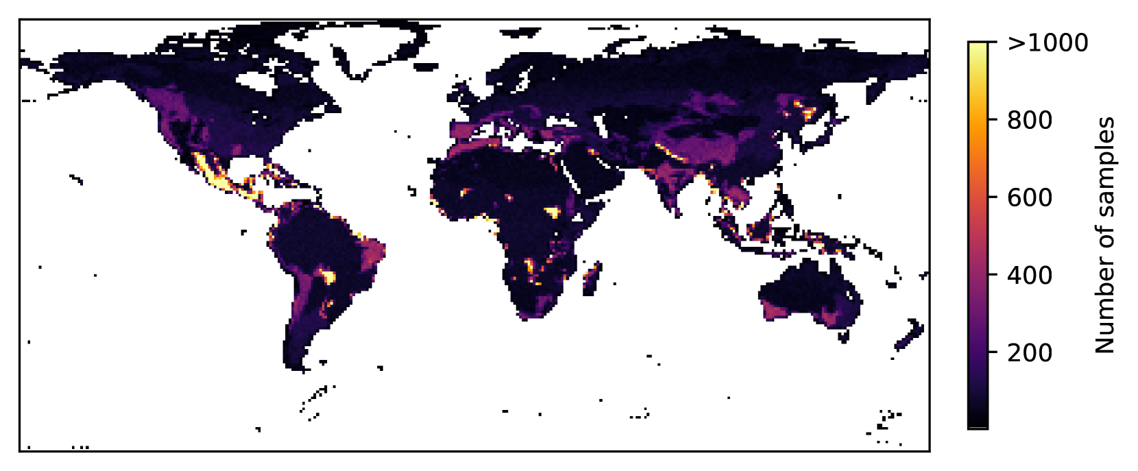
- Constructs MMEarth, a massive dataset aligning 12 modalities (optical, SAR, DEM, climate, etc.) across 1.2 million global locations, matched by space and time.
- Proposes MP-MAE, which extends ConvNeXt V2 to simultaneously reconstruct multiple diverse modalities (not just RGB) from a masked optical input during pretraining.
- Treats non-visual data (climate, location, time) as 'image-level' modalities to be predicted alongside 'pixel-level' maps, enriching the semantic representation of the optical encoder.
Architecture
The MP-MAE framework using a ConvNeXt V2 encoder and multi-head decoder.
Evaluation Highlights
- +3.4% Top-1 accuracy on Sentinel-2 land cover classification (So2Sat) compared to ImageNet-pretrained baseline.
- +5.7% mIoU on semantic segmentation (Neon Tree) compared to ImageNet-pretrained baseline.
- Consistently outperforms domain-specific baselines (e.g., SatMAE, Satlas) on linear probing tasks, demonstrating superior feature generalization.
Breakthrough Assessment
8/10
Significant contribution in releasing a harmonized, ImageNet-scale multi-modal EO dataset. The MP-MAE method effectively demonstrates that predicting unseen modalities is a powerful pretext task for remote sensing.